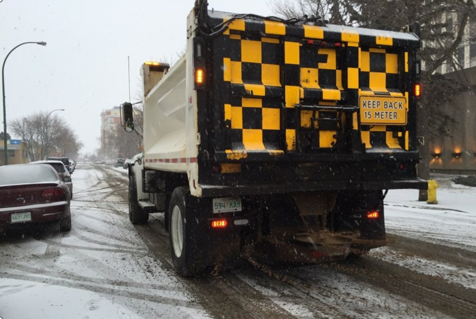
REGINA — As most folks watch an incoming record-breaking blizzard inch closer to southeastern Saskatchewan on the weather radar, Regina road crews are gearing up to once again get back to clearing snow.
Tyler Bien, the city’s manager of roadways and seasonal operations, said Tuesday that the city and its contracted partners are prepared to keep roads clear once the storm arrives.
“We are ready to respond with any plowing and ice control needs to keep traffic moving,” said Bien, at a media conference on Tuesday afternoon.
The incoming spring storm is anticipated to hit Regina early Wednesday morning, with snow and heavy winds predicted to last throughout the day and into the evening.
Forecasts are estimating anywhere between 10 and 20 centimetres of snow could blanket the Queen City, coupled with winds reaching as high as 60 kilometres per hour.
Bien said that to date, Regina has already received a total of 90 cm of snowfall this winter — an increase from the city’s average of 60 cm per year.
City equipment is ready for a return to winter operations, confirmed Bien, despite crews having already waded knee-deep into spring mode with catch basin clearing and pothole repair earlier this month.
“That equipment is different than our winter maintenance equipment, so it is still available for us [and] we’ve started transitioning back to winter,” said Bien.
Snow in April is unusual, as most Saskatchewanians recognize, but Bien said the phenomenon is not being considered unmanageable.
City maintenance has largely completed the spring clean-out of catch basins, said Bien, clearing the way for incoming snow to melt and drain quickly.
Crews are currently on duty 24/7 to respond to road conditions, he added, and clearing snow will be prioritized.
“Whether snow is sticking around for two months or two days, we plow it the same,” said Bien. “Our focus is to make the road safe and passable for motorists.”
Snow plowing plans in Regina are activated 24 hours after snow ceases falling, said Bien.
He couldn’t give a strict timeline on how long snow removal efforts may take, but assured residents crews will be working hard. Roads will be prioritized based on traffic levels, according to the city’s category system used during winter months.
In the meantime, Bien advised residents to drive cautiously and even stay home during the worst of the weather, if possible.
Drivers venturing out are asked to do so carefully and give themselves extra travel time to reach their destination.
Bien also recommended avoiding perimeter roads around the city, due to the expected high velocity winds.
“A lot of those perimeter roads may get blown in and visibility may be reduced, so take your time and plan your route,” said Bien. “If you can, stay in [during] the middle of the storm.”
The U.S. National Weather Service is describing the incoming storm as “historic,” as it tracks through North Dakota and Montana, towards Saskatchewan and Alberta.
Environment Canada has issued a blizzard warning for southeastern Saskatchewan, beginning Tuesday evening in some areas and lasting through to Friday morning. Snowfall is anticipated to reach 30 to 50 cm in some areas by Friday morning.
Residents in the storm’s path are warned to prepare for reduced to no travel conditions, as well as potential power outages.


