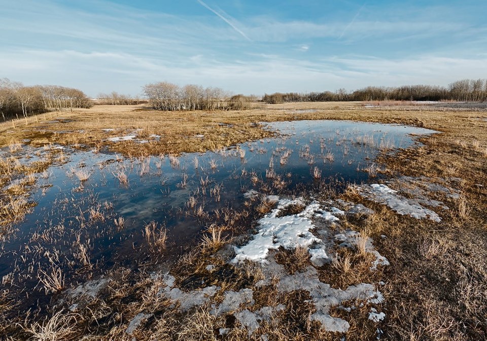
SASKATOON — World Weather Inc. believes much of the United States and portions of the Canadian Prairies will experience drought in the summer of 2024.
That forecast is based on an analysis of the 18-year lunar cycle.
“I’ve looked at six analog years and all six of them have a drier and warmer bias for the (U.S.) Plains, the southeast parts of Canada’s Prairies and the western Corn Belt,” said company president Drew Lerner.
Lerner was also “amazed” at how many days there were in those six summers where temperatures exceeded 100 F (38 C).
“There is a lot of reason to believe that there will be more heat in 2024 than there was last year,” he said.
Lerner is concerned about the corn and soybean crops in the U.S. Corn will be in its reproductive phase of development in June/July, which will likely be the hottest months.
He isn’t as worried about the winter wheat crop.
“It is going to be far enough advanced before it really gets nasty hot and dry.”
Lerner stressed that North America has experienced droughts when significant crop-producing regions went months without receiving much precipitation and still managed to produce a decent crop.
Last year was a good case in point. There was drought in the western Corn Belt and portions of the Plains, but the U.S. still managed to produce a record corn crop due to timely rains.
However, he is getting worried about how this summer will play out because there are a few other factors indicating that widespread drought is a distinct possibility.
Many international climate models forecast a shift from El Nino to La Nina this summer.
Lerner said studies show that when the world transitions from an El Nino in January to a La Nina by July, there is a tendency for “pronounced dryness” in the middle of the U.S., in the same places where the lunar cycle suggests it will be drier than normal.
There is also a link between record-warm Februarys with warm Julys in the U.S.
“Putting all these together, there is a lot of reason to be concerned about the season coming up,” he said.
StoneX chief commodities economist Arlan Suderman recently mentioned another weather factor that has him losing sleep.
He is paying close attention to ocean temperatures off the west coast of North America. In particular, he is monitoring a region stretching from the Gulf of Alaska to Hawaii to Baja California.
The four worst droughts in the past 30 years in the U.S. Midwest have occurred when that area of the Pacific Ocean has been cooler than normal.
And that is the case right now, Suderman said during a recent webinar hosted by the U.S. Soybean Export Council.
He will be intently watching those temperatures in May and June.
“If those waters are cold, that increases the risk of us having drought in the Midwest that could curtail yields,” said Suderman.
“If they’re warm, that probably means we’re going to have good yields this year.”
Lerner said Suderman is referring to a weather phenomenon called the negative phase of the Pacific Decadal Oscillation (PDO).
He said there is a correlation between colder water in the eastern Pacific Ocean and a ridge of high pressure setting up in the middle of North America.
But he noted that temperatures in that region of the Pacific Ocean today are nowhere near as cold as they were this time last year.
Last year was close to a record negative PDO, yet it proved to have very little impact on drought in mid-America. As noted earlier, farmers still managed to produce a record corn crop.
“It doesn’t always pan out as being the big bad thing,” Lerner said.
But it is yet another factor pointing toward the possibility of a hot and dry summer throughout much of Canada and the U.S.
Lerner said the southeast region of the Canadian Prairies is most likely to be dry this summer. That includes much of Manitoba and southeast Saskatchewan.
He anticipates better rains in northwest and west-central Saskatchewan, as well as east-central, northeast and north-central Alberta. The Peace region of Alberta is expected to be dry this spring and then receive some timely rains.


