In the year 350 B.C., the Greek philosopher Aristotle gave one of the earliest descriptions of weather patterns in It included some of mankind's first attempts to observe and record natural phenomena like water evaporation and earthquakes. Although it was a far cry from the Weather Channel, "Meteorologica" was the start of something that had eluded human beings for time immemorial: the ability to understand—and even predict—the weather.
Modern industry—and for good reason. Despite all the advanced technology of modern society, humans are still pretty much at the mercy of the elements. America's GDP can fluctuate by more than $1.34 trillion depending on the weather. In 2020 alone, killed 585 people in the United States and injured more than 1,700 more with flash floods, tropical storms, heat, tornadoes, ice storms, and thunderstorms doing most of the damage.
Weather forecasters are easy targets because, like football referees, people tend to take notice only when they get it wrong. The reality, however, is that in astonishing percentages. When weathermen and women issue seven-day forecasts, they're accurate about 80% of the time—90% for five-day forecasts. If someone had told Aristotle that human beings would one day be able to accurately predict the weather nine times out of 10, five days in advance, he likely would have laughed at their overactive imagination.
It's important to note that are not interchangeable terms. Weather describes the short-term—day-to-day and hour-to-hour—state of the atmosphere, including temperature, precipitation, wind, and visibility. Climate, on the other hand, measures average weather patterns over several decades. Global-warming deniers often cite anomalies like warm spells in the winter as evidence backing their point of view, when they are referencing the weather, not the climate.
used a variety of scientific sources to compile a list of 50 common weather terms. Here's a look at the phrases, words, and terminology that dominate weather reports, which are correct far more frequently than the people who craft them are given credit for.

ake Hukee // Shutterstock
Polar vortex
The menacing phrase "polar vortex" is a relatively new term for winter weather forecasting, but meteorologists have understood it as a concept for decades. A occurs when a large section of very cold air, usually the coldest in the entire northern hemisphere, is pushed down the North American continent as far south as the Midwestern and Northeastern United States.
After a summer off, the and was classified as about average for that time of year.

s74 // Shutterstock
Atmospheric (barometric) pressure
Humans inhabit the very bottom of the Earth's atmosphere and everything above creates atmospheric pressure. form when downward pressure creates a clockwise air rotation, unlike low-pressure systems, which generate counter-clockwise rotation. Both phenomena, which are measured with electronic sensors called barometers, are critical to predicting weather events like precipitation.
an.somov9 // Shutterstock
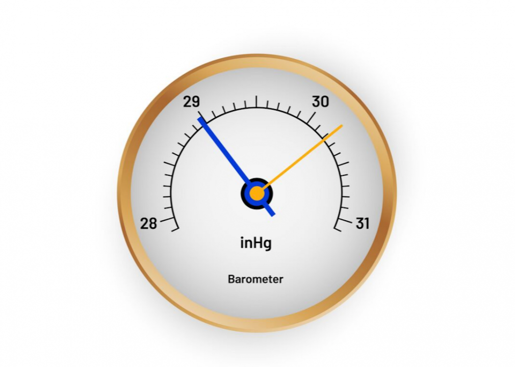
Inch of mercury
is a unit used to measure air pressure. It represents the amount of pressure the atmosphere places on a one-inch column of mercury under standard gravity at zero degrees Celsius.
[Pictured: A vector illustration of a barometer which measures atmospheric pressure in inches of mercury.]
Santa pa// Shutterstock
Ball lightning
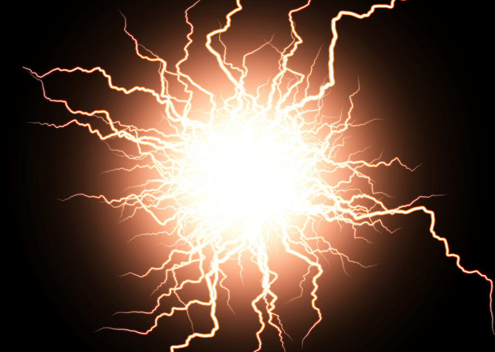
Lightning in its traditional form is frightening and deadly on its own, but is scary even in the context of instant electrocution from the heavens. Also known as globe lightning, the phenomenon has baffled and terrified humans for centuries. Ball lightning is a floating, colorized sphere of energy that spins off from thunderstorms and sometimes crashes through windows with deadly results—it appears to be attracted to ions that accumulate on glass.
[Pictured: This is an artist rendering of ball lightning.]
Belozersky // Shutterstock
Troughs and ridges
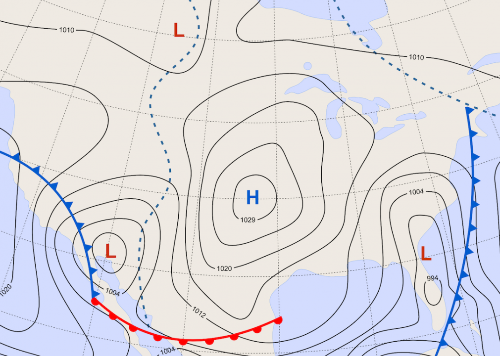
On weather forecasts, are represented by U-shaped patterns, often overlayed with directional arrows. These indicators of pressure are important clues in forecasting weather. Precipitation forms around troughs while ridges indicate dry conditions.
[Pictured: Weather map graphic of the United States of America highlighting troughs and ridges.]
Edw // Shutterstock
Tropical storm
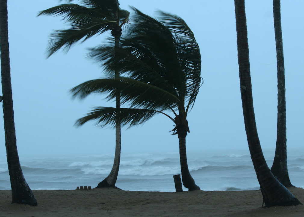
People sometimes use the terms "tropical storm" and "hurricane" interchangeably, but one is actually an evolution of the other. form in the same places and under the same conditions as hurricanes, but they achieve maximum sustained wind of just 39–73 mph. If a tropical storm's maximum sustained winds hit 74 mph, it becomes a hurricane.
Jeff Gammons StormVisuals // Shutterstock
Tropical depression
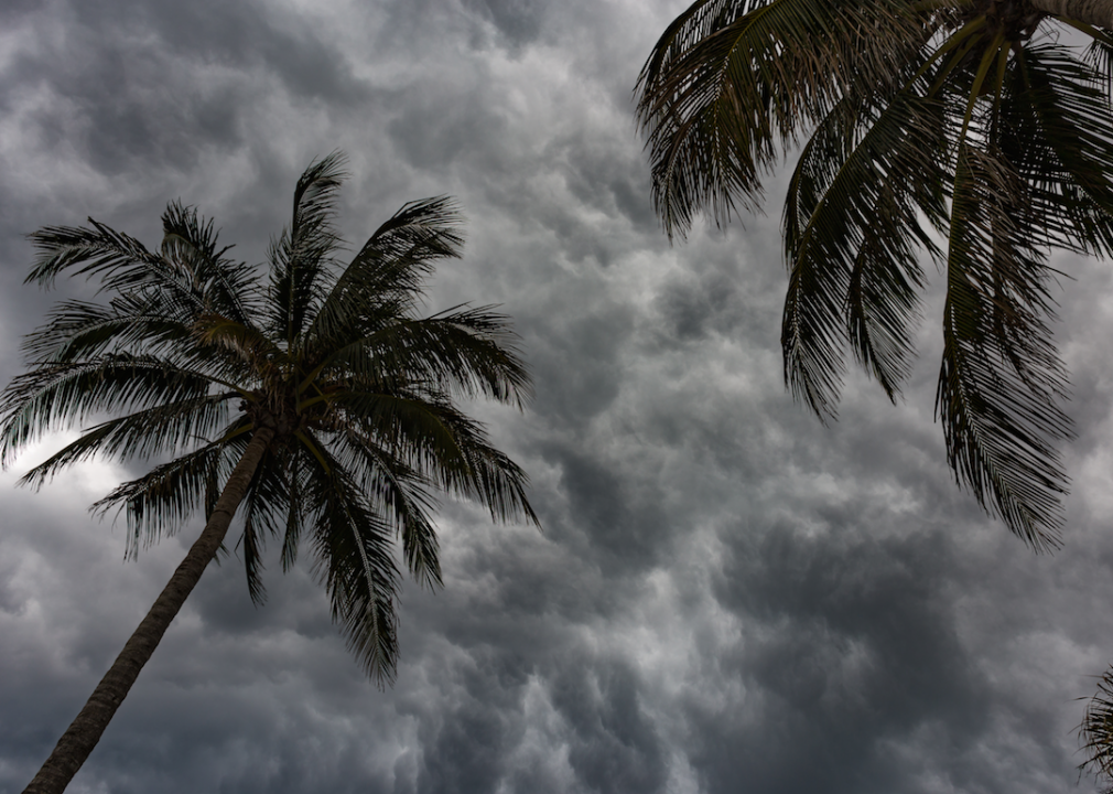
Before a weather event graduates into a tropical storm, it's a . The infant stage of a hurricane, a tropical depression is a tropical cyclone with maximum sustained winds up to 38 mph.
lynnlin // Shutterstock
Dew point
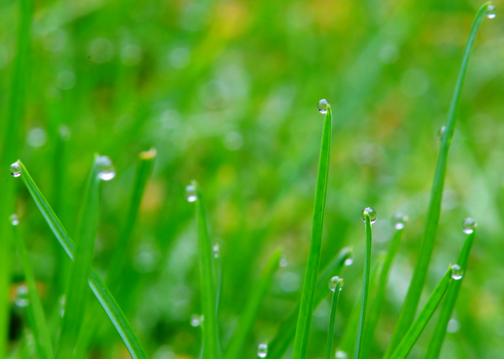
represents the temperature to which air would have to be cooled to reach a level of moisture saturation. When it reaches the dew point, droplets of water, or dew, begin to form on solid objects like grass and cars.

Daniel2528 // Shutterstock
Relative humidity
is closely related to dew point, but the two terms are not interchangeable. This term describes the amount of atmospheric moisture that exists relative to the amount that would exist if the air was saturated.
cemT // Shutterstock
Wind chill
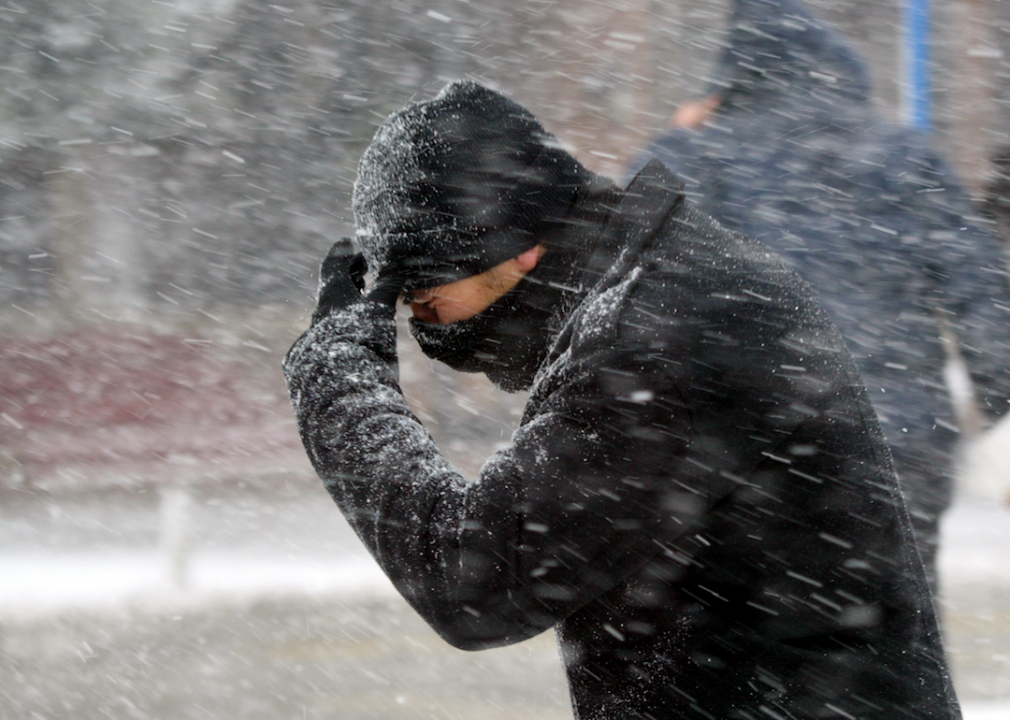
Everyone in America above a certain latitude knows there are two temperatures they have to consider when getting dressed in the morning in winter—the actual temperature reading and the one that counts: the . Also known as the "feels-like" temperature, wind chill represents how cold the weather feels on human skin when the chilling effect of the wind is taken into consideration.

Predrag Jankovic // Shutterstock
Heat index
The is essentially the same thing as the wind chill factor, but for the opposite sensation of environmental exposure. It represents how hot the temperature actually feels when humidity is considered. The more humid the air is, the less perspiration is able to evaporate, which cripples the human body's cooling system and makes it feel hotter when it's humid outside.
justoomm // Shutterstock
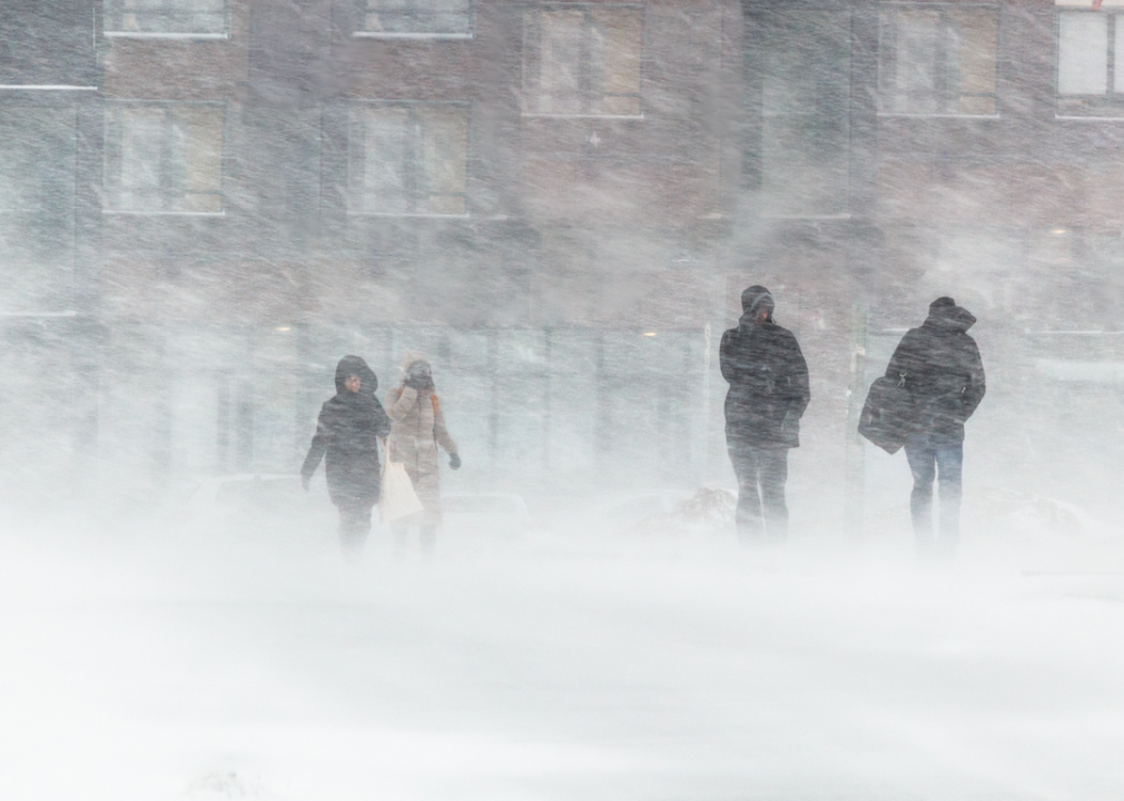
Snow squall
are brief but intense bursts of snowfall that usually occur during the day. Snow squalls are always accompanied by strong gusts of wind, which, combined with the sheer volume of snow, is known to reduce visibility to nearly zero with almost no warning.
SemPhOtO // Shutterstock
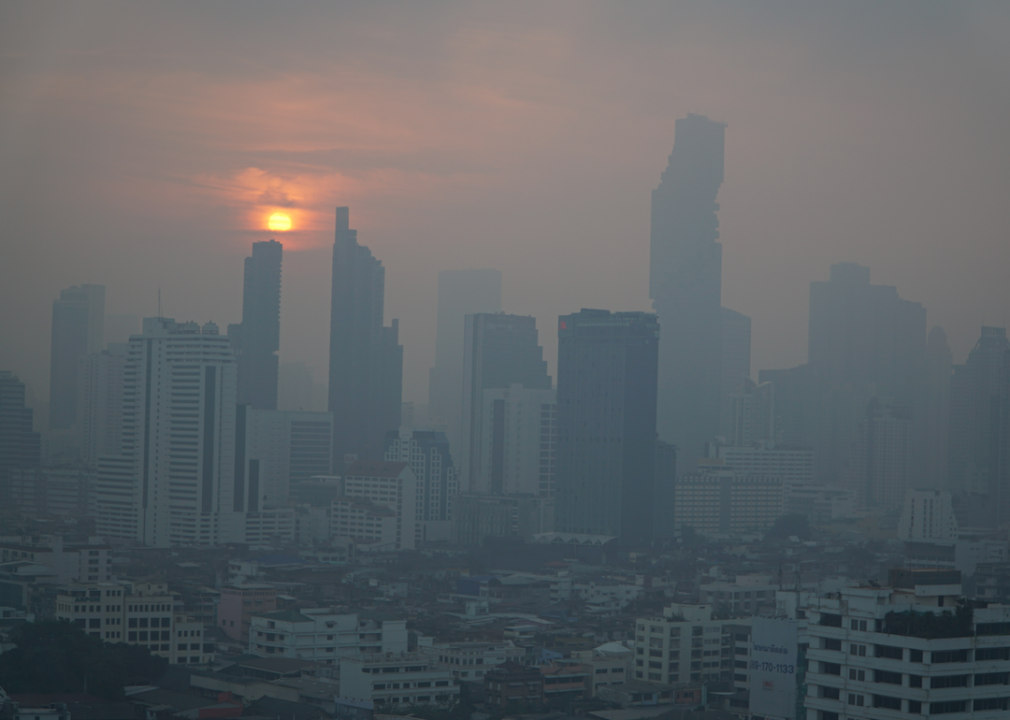
Smog
that can result when smoke, nitrogen dioxide, sulfur dioxide, and carbon monoxide accumulate in a specific area—that area is almost always a heavily populated, smog-prone city. While smog is most decidedly a man-made phenomenon and not a natural weather event, local meteorologists give smog reports along with the local weather forecast in some especially hard-hit cities like Los Angeles.

Dvorak319 // Flickr
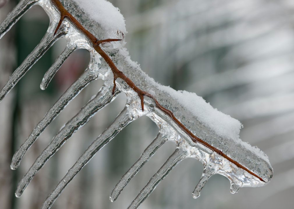
Sleet
One of the more unpleasant precipitation events associated with winter is and turns roads and sidewalks into ice-skating rinks. Sleet graces the world with its presence when rain or melted snow freezes and turns into ice on its way from the sky to the ground.
Marefoto // Shutterstock
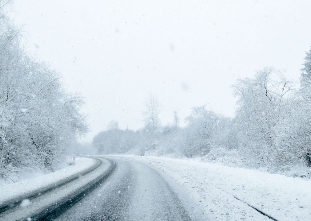
Freezing rain
is formed through the same general process that creates sleet, but they're not the same thing. Sleet falls to the ground as ice. Freezing rain, on the other hand, remains in liquid form until it hits a cold object and then instantly freezes on contact.
trendobjects // Shutterstock
Wintry mix
Two words cold-weather commuters never want to hear are When precipitation travels through an above-freezing "warm" layer of air followed by a cold, below-freezing layer, it's possible for snow, sleet, and freezing rain to fall simultaneously.
Seth Lively // Shutterstock
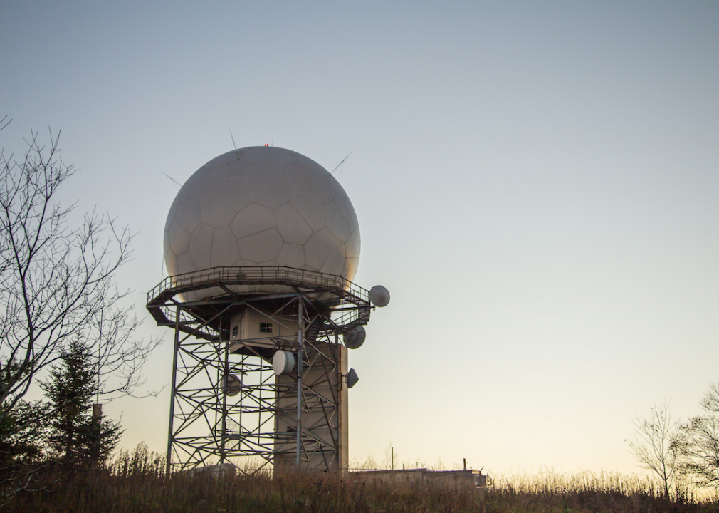
Doppler radar
NEXRAD is an acronym that stands for Next-Generation Radar, which generates weather data by emitting a burst of energy and analyzing returned energy. Sophisticated instruments measure the time it takes for the energy to travel and the phase of the returning pulse. Called the Doppler effect for Austrian physicist Christian Doppler, its where gets its name.

Bildagentur Zoonar GmbH // Shutterstock
The doldrums
Although the word is most commonly associated with long bouts of stagnation and depression, is also a meteorological term. The Inter-Tropical Conversion Zone is a series of windless waters around the equator where ships would often get stuck—sailors referred to the area as the doldrums.

Sasa Prudkov // Shutterstock
Severe thunderstorm
There are garden-variety thunderstorms and , and when meteorologists mention the latter, the public should take it seriously. To be classified as "severe," thunderstorms must include two potentially deadly elements: winds of at least 58 mph and hail at least one inch in diameter.
You may also like:
Stepan Bessmelnitsin // Shutterstock
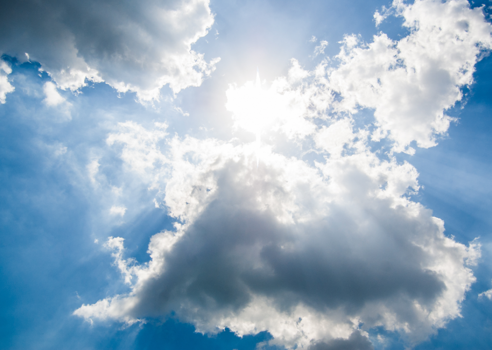
Partly cloudy/partly sunny
Some people might assume that are different ways to say the same thing, and they'd be right. According to the National Weather Service, both terms refer to opaque cloud coverage between three-eighths to five-eighths.

NOAA // Wikimedia Commons
La Niña
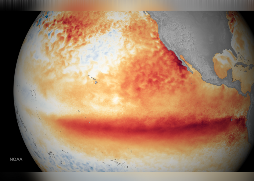
One half of the El Nino-麻豆传媒AVern Oscillation (ENSO) phenomenon, (The Girl) is a global weather pattern that describes a dramatic cooling of ocean temperatures in the Western Hemisphere. La Niña is known for its disruptive impact on weather, specifically heavy rainfall and an increase in low-pressure systems.
[Pictured: NOAA satellite imagery of ocean surface temperatures.]
NOAA NEDIS // NOAA Environmental Visualization Laboratory
El Niño
The opposing "warm" half of ENSO is called (The Boy), which occurs irregularly every two to seven years and is often followed closely by a La Niña pattern. It warms the oceans and creates the opposite effect in terms of not just ocean temperatures, but atmospheric pressure. It, too, is associated with irregular and sometimes severe weather patterns.
[Pictured: NOAA satellite imagery of ocean surface temperatures.]
Vitalinka // Shutterstock
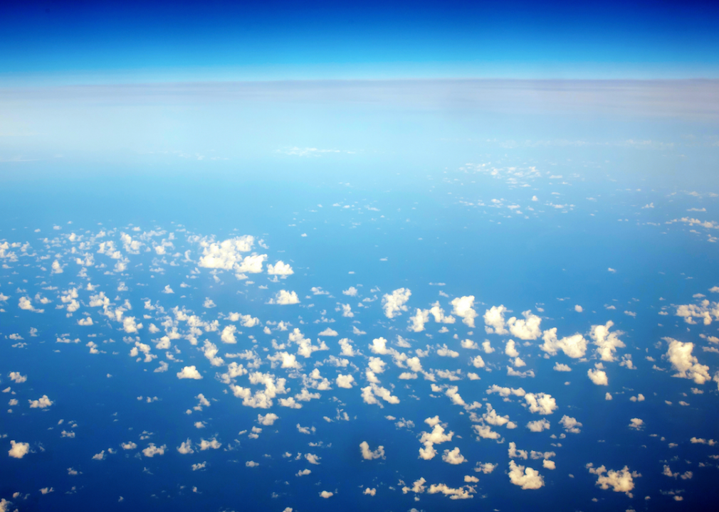
Jet stream
are thin but intense winds in the highest reaches of the atmosphere. Following the boundaries of cold and warm air, jet streams blow west to east, although their flow sometimes shifts to north and south. Not only do these "rivers of air" affect global weather and help meteorologists identify atmospheric patterns, but they're crucial to air travel, as flying into and out of them can dramatically affect fuel consumption and flight time.

stefan johansson // Shutterstock
Ice fog
Sometimes called "freezing fog," is a phenomenon that residents have reported in recent years as far south as Mississippi and Georgia. Ice fog is so cold that suspended droplets of water freeze on contact, encasing power lines, tree limbs, street signs, and anything it touches in thick sheets of ice.

FocusStocker// Shutterstock
Heat wave
are long periods of abnormally warm weather. In order to qualify as a heat wave, it must last for at least two days and consist of temperatures that are outside the region's historical average.
Arthur Villator // Shutterstock
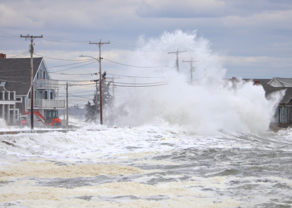
Storm surge
It's common to hear meteorologists warn that is one of the deadliest and most dangerous parts of major weather events like hurricanes. The phenomenon occurs when significant storms cause an abnormal rise in seawater above the limits of the astronomical tide. Storm surges can cause rapid, significant, and deadly flooding in coastal regions.
Mark Key // Shutterstock
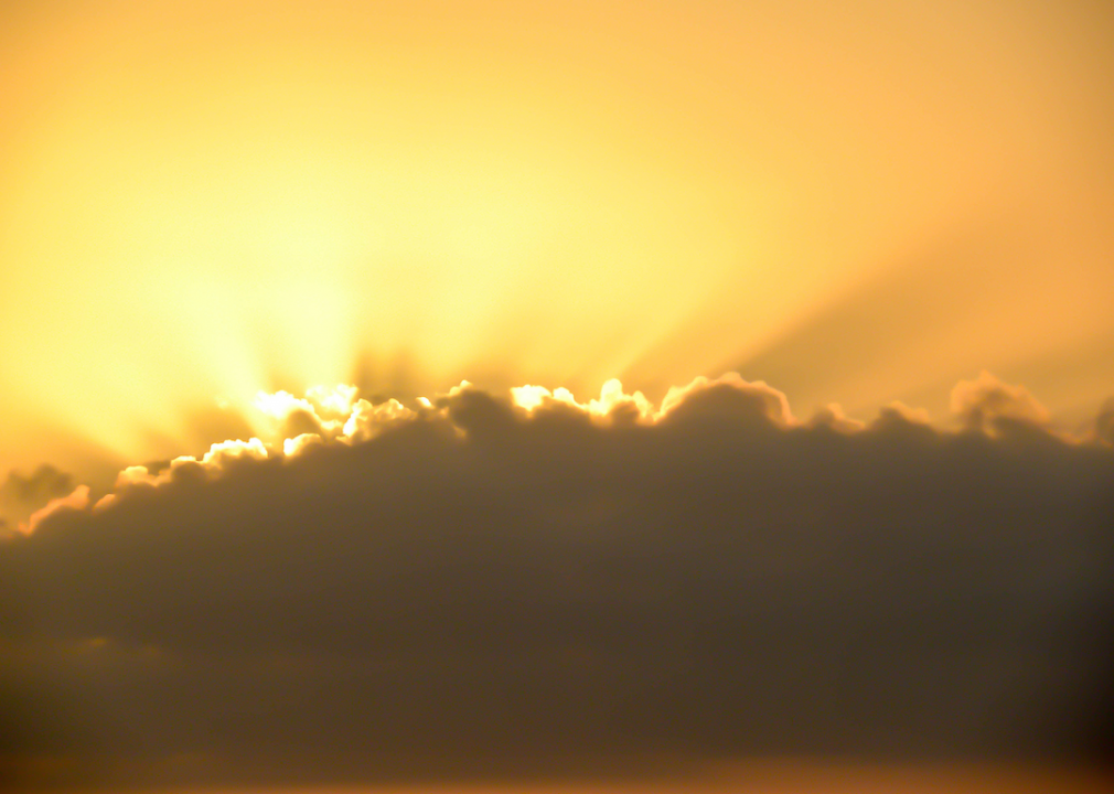
Haze
The dreaded three H's are hazy, hot, and humid. Hot is self-explanatory, humidity deals with the level of moisture in the air, but what exactly does it mean to be hazy? Haze can look like a thin fog, but it actually isn't caused by precipitation. Hazy conditions occur when large amounts of fine, dry particulate matter like dirt are suspended in the air, which scatters light and gives the lower atmosphere a cloudy appearance.
Canva
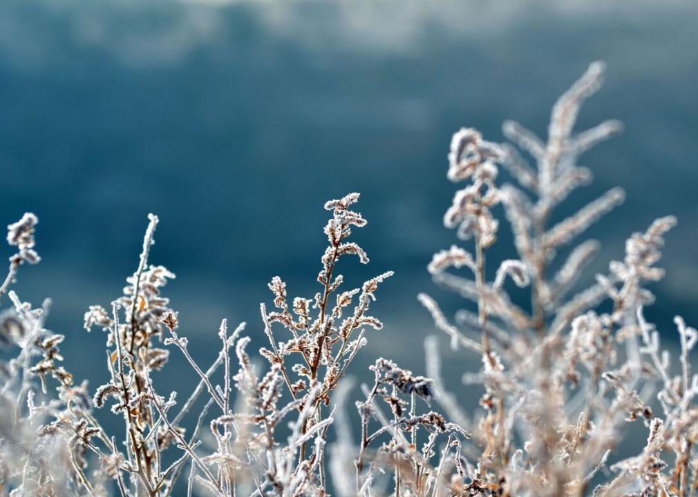
Frost
Gardeners make their plans according to the first and last frost schedules in their respective agricultural zones. The frozen version of dew, frost occurs when cold, moisture-soaked air deposits water that freezes and leaves an icy film on things like plants and car windows.
BABYFRUITY // Shutterstock
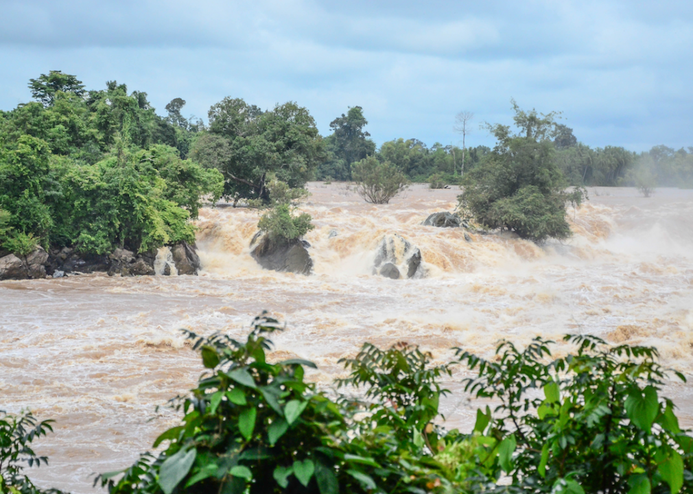
Flash flood
Flash flooding occurs when large amounts of water from sudden torrential rains—or occasionally an incident like the breaking of a dam—gushes through a narrow area that isn't capable of absorbing high volumes of water. In many cases, flash floods—which can roll cars and destroy houses—happen in the immediate aftermath of extended droughts where parched land can't absorb the influx of water quickly enough.
Piyaset // Shutterstock
Drought
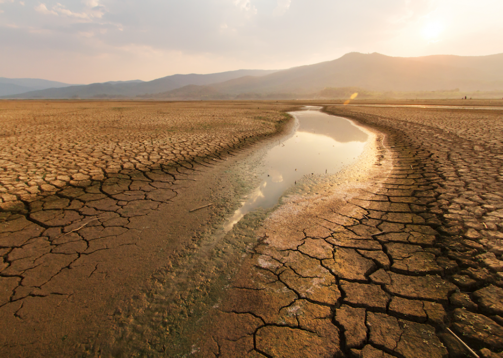
Most people know droughts result from an extended lack of precipitation and abnormally high temperatures, but overpopulation and land overuse are contributing factors, too. Droughts are among the most destructive forces in nature—only hurricanes are more economically damaging to the United States.
Canva
Breezy and windy
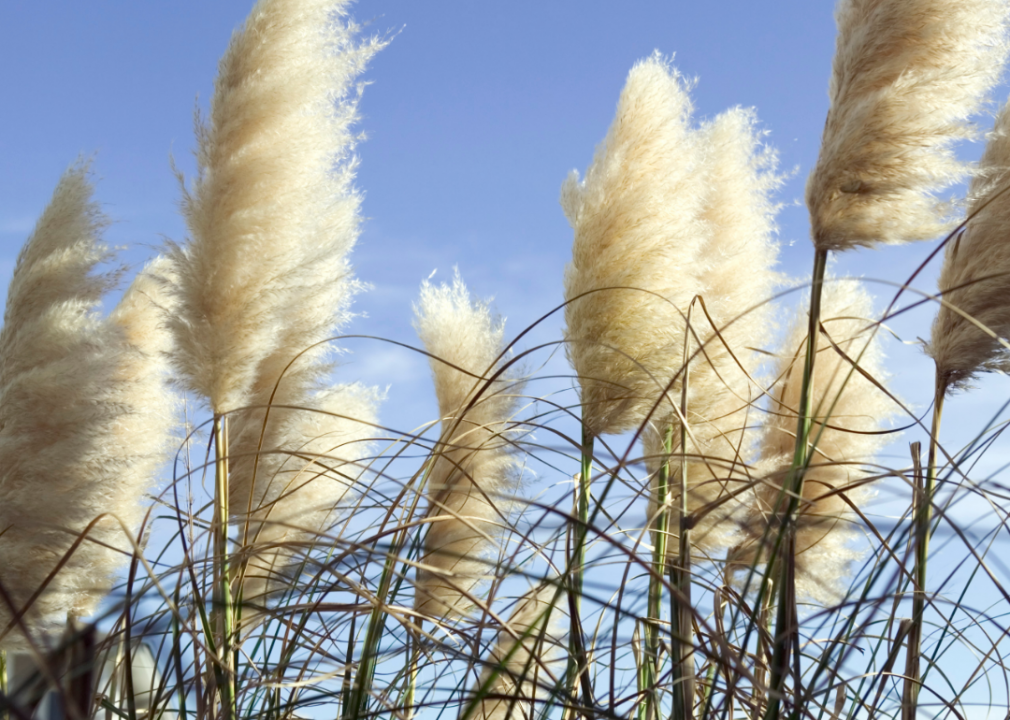
The terms "windy" and "breezy" are sometimes used interchangeably, but they don't describe the same phenomenon. Breezy conditions involve air moving between 12 and 22 mph during pleasant conditions. Windy days, on the other hand, involve stronger winds up to 50 mph during stormy or inclement weather.
Paddy Scott // Shutterstock
Blizzard
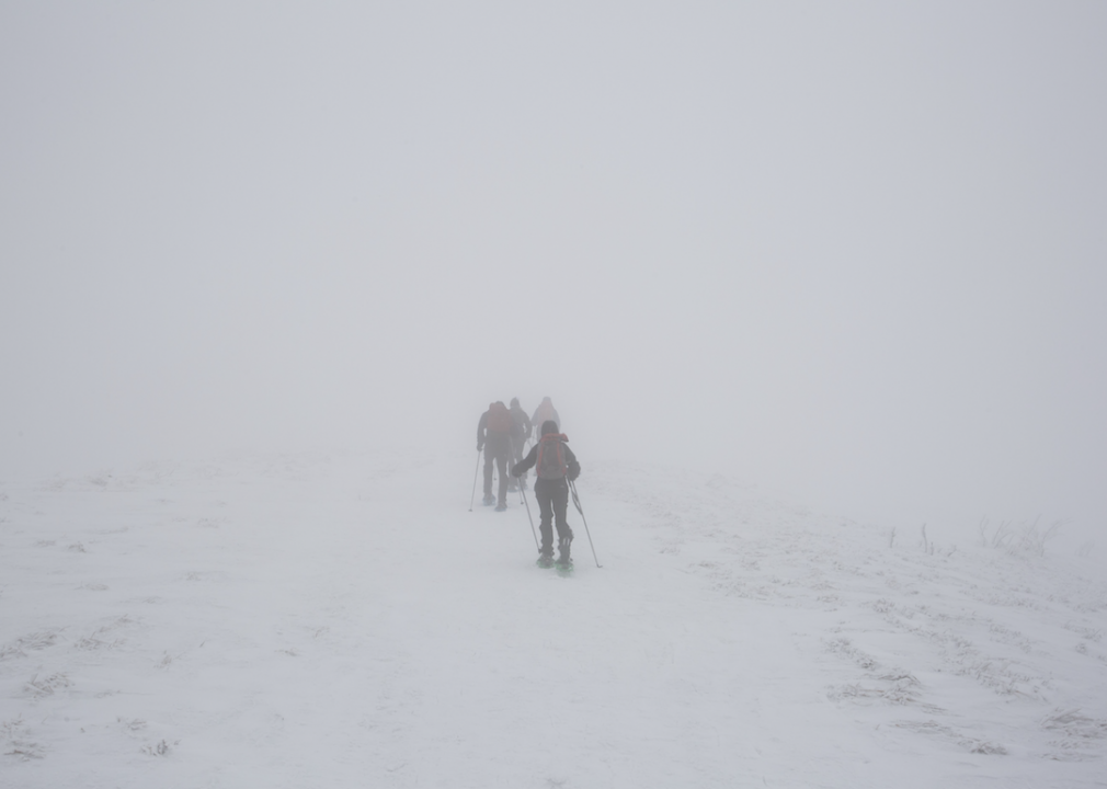
Not just any big snowstorm qualifies as a blizzard. To earn the harshest classification in winter weather, a storm must meet three criteria. Blizzards have frequent wind gusts of at least 35 mph, they have sustained falling or blowing snow that reduces visibility to less than a quarter-mile, and the storm maintains those conditions for at least three consecutive hours.
Smiltena // Shutterstock
Black ice
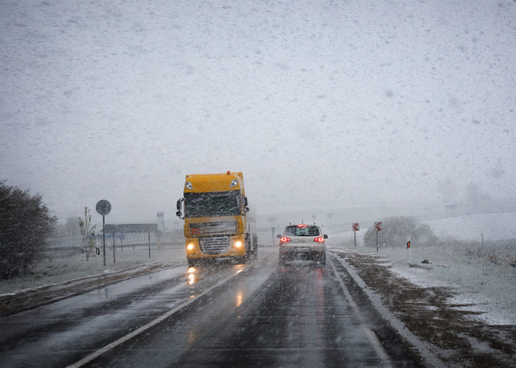
Car accidents are the leading cause of winter-related fatalities, so when a meteorologist warns about the potential for black ice, drivers should take it seriously. Black ice gets its name because it's so thin that it's nearly invisible on the road surface, but the ice itself isn't black. Black ice forms when sudden temperature increases cause snow to melt and drip onto roadways that are still cold enough to make the liquid water freeze on contact.
John D Sirlin // Shutterstock
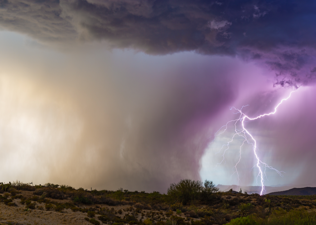
Microburst
Microbursts are among the most dangerous and unpredictable weather phenomena on Earth, and they form inside of already-dangerous thunderstorms. Updrafts—columns of rapidly rising air—sometimes suspend large amounts of rain and ice, and when the updraft weakens, there's nothing left to hold all that water and ice in place. That leads to a massive downdraft, which sends the core of the column crashing to the ground and, upon impact, bursting out in all directions, leading to tornado-like winds, pressure, and destruction.

Minerva Studio // Shutterstock
Waterspout
Although they look like tornadoes made of water, waterspouts are made of cloud-filled wind that descends in a rotating form over a body of water. They descend from cumulus clouds and behave like tornadoes, but they form over lakes or oceans and are generally less intense.
Suzanne Tucker // Shutterstock
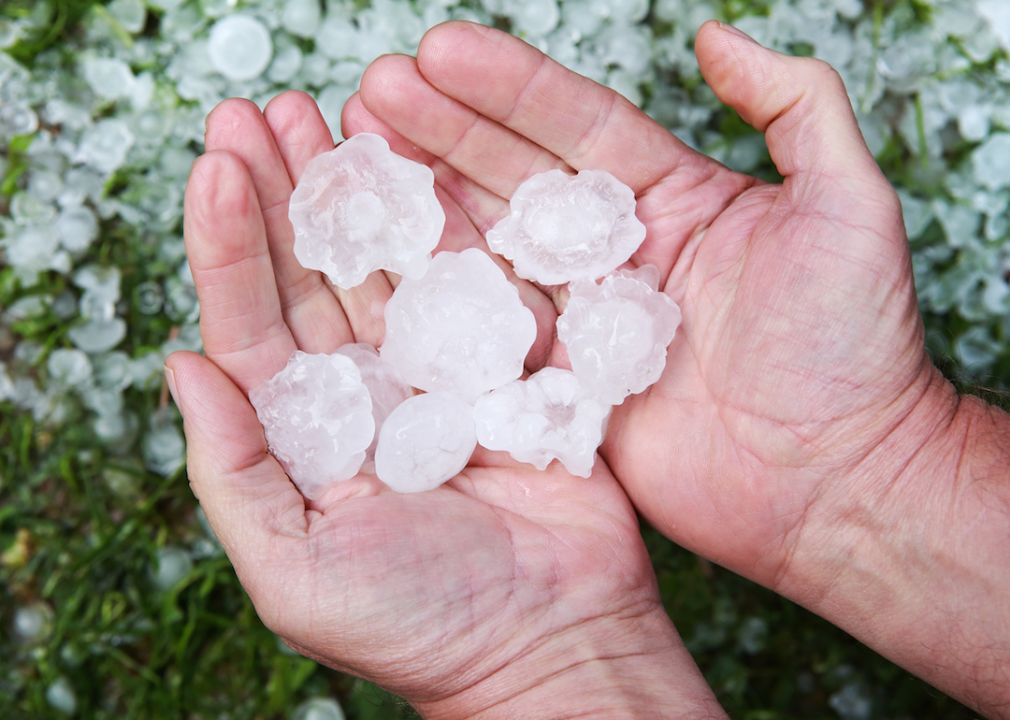
Hail
Unlike sleet, which is ice formed by rain falling through very cold air, hail is a much more dangerous phenomenon associated with much more dangerous weather.
Hail forms when powerful updrafts inside of thunderstorms force water well above the freezing level. That water freezes into large hailstones, which eventually become too heavy for the updraft and comes crashing down to Earth.
Lee Prince // Shutterstock
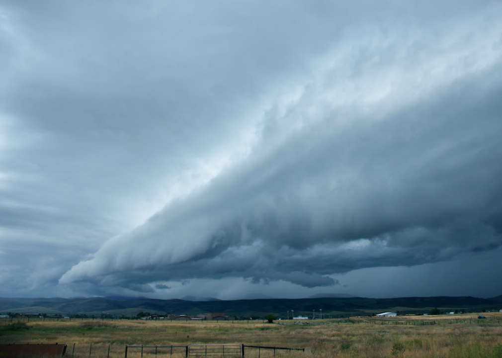
Squall line
Squall lines are impressive-looking but incredibly dangerous weather patterns that create a continuous row of thunderstorms.
They develop ahead of and/or along cold fronts, and when they form, they're not to be taken lightly. Squall lines are known to bring driving rain, severe lightning, straight-line wind, hail, tornadoes, and waterspouts.
Bryan Busovicki // Shutterstock
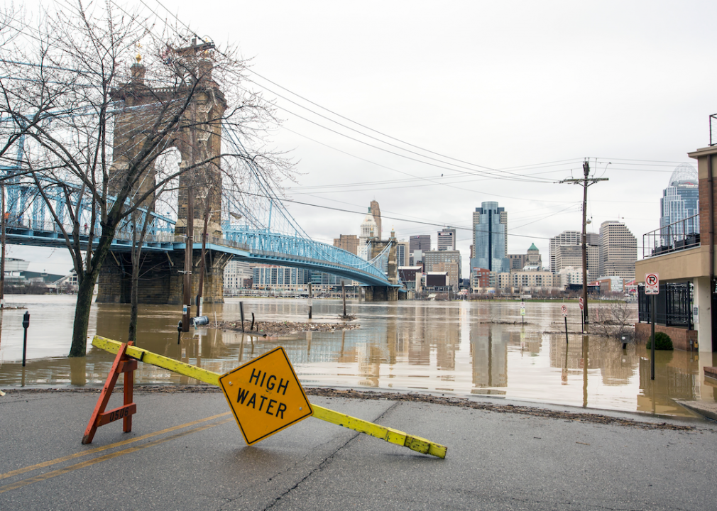
Flood crest
Flooding is one of the deadliest and most destructive weather phenomena in the country and on the planet.
Weather professionals use specific terminology to describe rivers as they rise from excess water. A flood crest is the peak—the highest level the water will rise—which is the most significant and dangerous time of a flood, but also an indication that the flood will soon recede.
C. Lee Parrish // Shutterstock
Ice storm
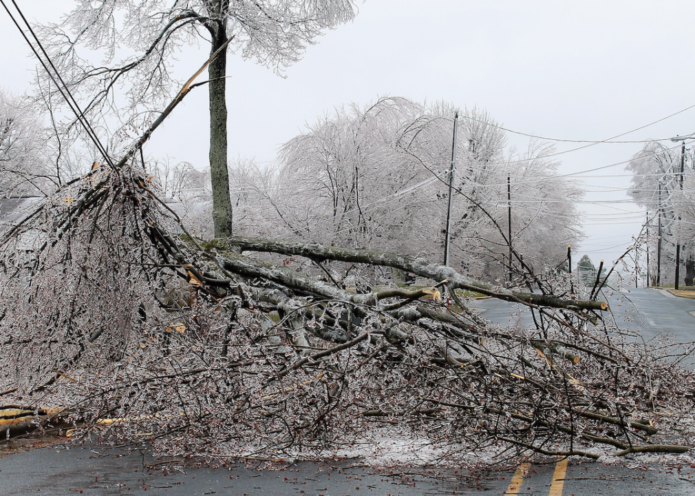
Ice storms are extended episodes of freezing rain, which occurs when precipitation falls in liquid form and freezes on contact.
It becomes an ice storm when a quarter-inch or more of ice accumulates, creating dangerous conditions. Ice storms, which can be deadly and cause a lasting impact, can add 500 pounds to the weight of power lines and increase the weight of tree limbs by a multiplier of 30.
Canva
Watches and warnings
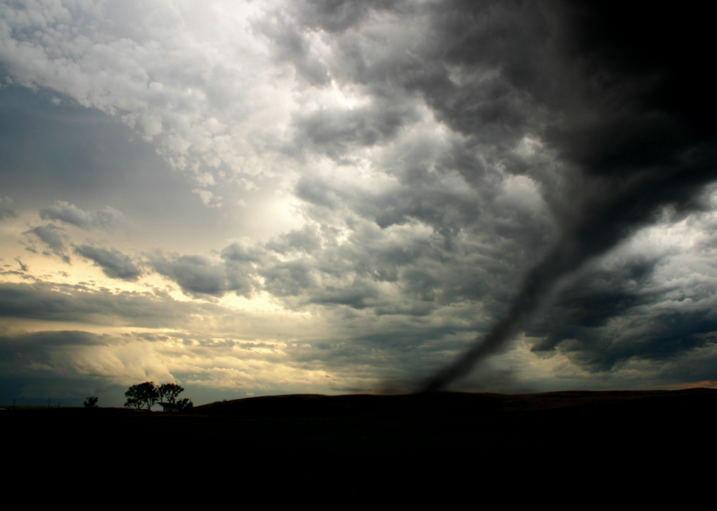
to inform residents about the likelihood of serious and fast-moving weather events like tornadoes and severe thunderstorms. Watches are less serious and indicate that conditions are present for the formation of a severe weather event.
Warnings, on the other hand, indicate that an event has been identified by a person or radar, a tornado or thunderstorm is imminent, and to seek shelter immediately.
Famartin // Wikimedia Commons
Fire weather terminology
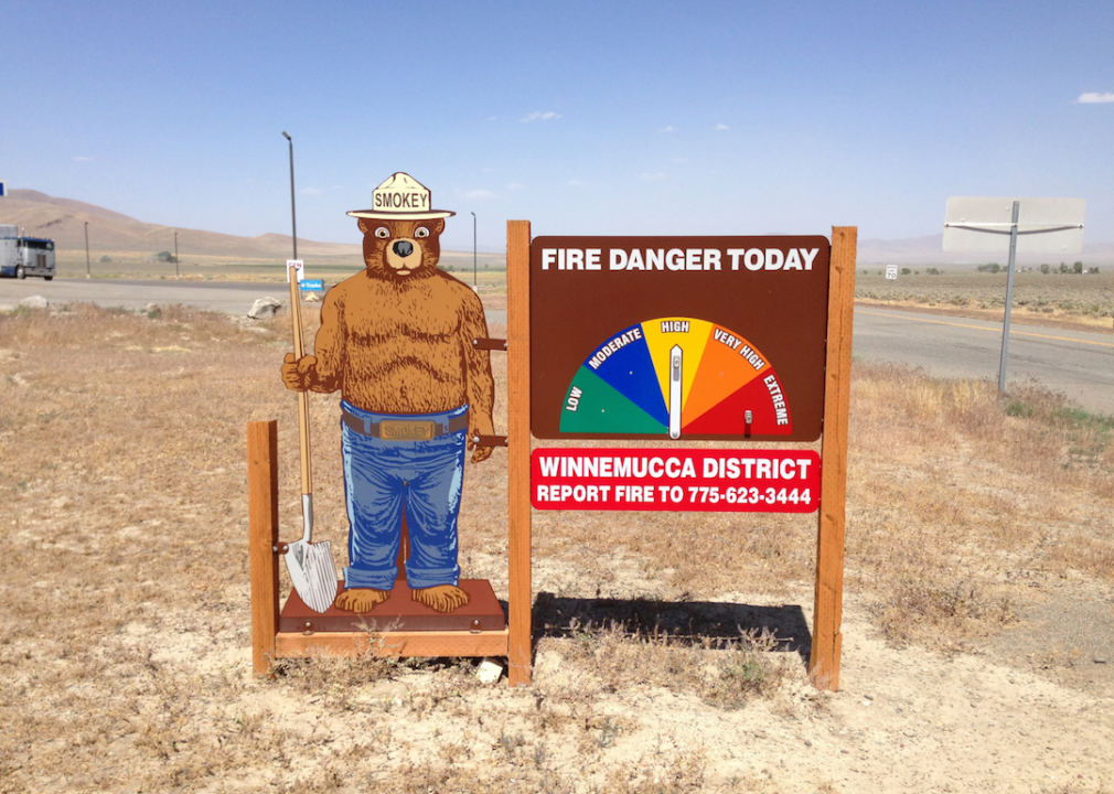
Like tornado watches and warnings, meteorologists issue different precautionary statements when the weather is ripe for dangerous wildfires.
Red flag warnings advise residents to take action like being careful with open flames. Fire weather watches are a step up, warning people that fire conditions are possible, but not imminent. Extreme fire behavior is the most severe, warning that fires are burning and likely to rage out of control.
Phillip Cappe // Wikimedia Commons
Weather front
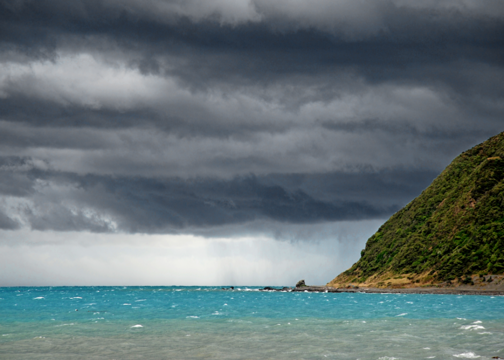
Meteorologists commonly refer to fronts, which exists between two large bodies of air that each exhibit similar temperature and moisture conditions.
Cold fronts are boundaries between warm and cold bodies of air when the cold air is replacing the warm air. Warm fronts describe the opposite effect.

Tony Skerl // Shutterstock
Westerlies
One of the main prevailing winds, westerlies blow from the west as the name implies.
Fed by polar winds from high-pressure areas, they're strongest in the winter when pole pressure is low.

Canva
Easterlies
Easterlies blow from the east. These cold, dry prevailing winds emanate from polar highs and flow to low-pressure regions.

Canva
Trade winds
Powerful prevailing winds that move east across the tropics, trade winds got their name because they have been instrumental throughout history to travel, communication, trade, exploration, and war.
Even today, the shipping industry relies on these intense and predictable winds.
Alexander Gerst/NASA // Wikimedia Commons
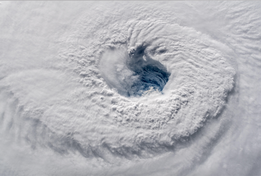
Eyewall
During hurricanes, those in the path are known to get a brief respite when the deceivingly tranquil eye of the storm passes over.
The roughly circular eyewall that surrounds the eye, however, is a ring of deep convection that contains the storm's most furious winds.

Svitlana Pimenov // Shutterstock
Nor'easter
Nor'easters are major, dangerous storms that are exclusive to the Northeastern United States.
Geography, however, is not where these storms get their name.
Nor'easters are named for the direction that the storm's most intense winds blow. Those winds are usually severe, and they're known to bring rain and snow and cause flooding and storm surges.

Canva
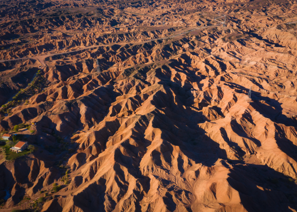
Wind shear
Wind shear is a measurement of wind, and it's defined as a difference in direction and speed of wind over a specific distance in the atmosphere.
Measured both horizontally and vertically, wind shear is much more significant at the higher reaches of the atmosphere. Engineers have to consider wind shear when designing skyscrapers and other tall structures.
Canva
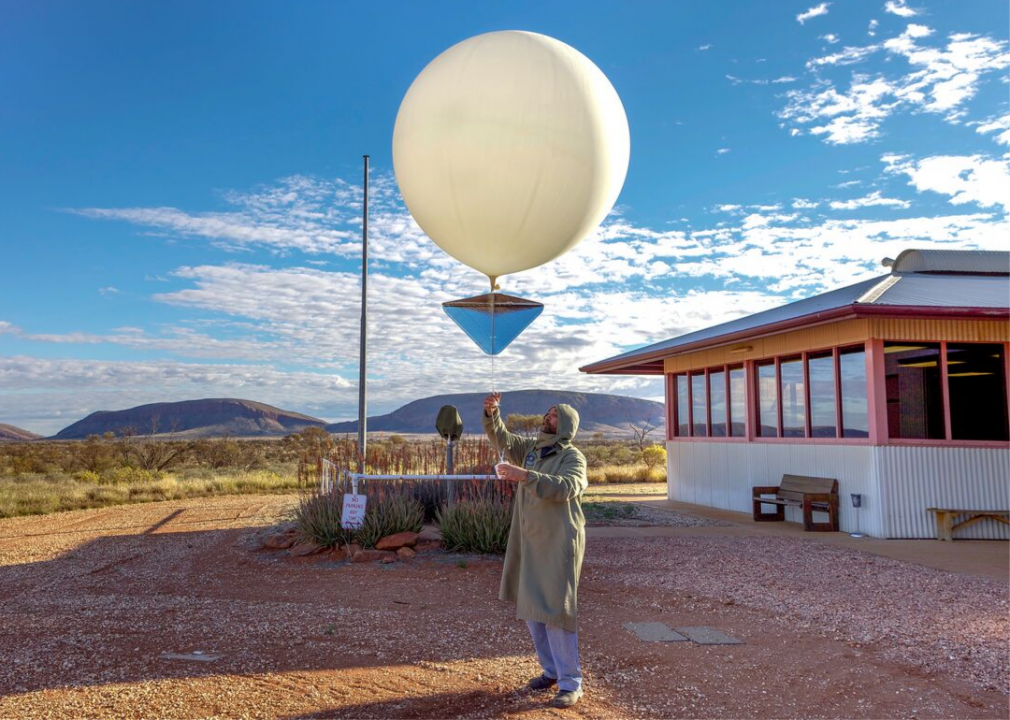
Arid
Representing the opposite concept of humidity, aridity is a term that has more to do with climate than the weather.
Found on every continent on Earth, arid climates are dry and often very hot and/or very cold.
Unsuitable for most life, the plants and animals that live in arid climates have evolved with specialized adaptations for survival.
Edward Haylan // Shutterstock
Horse latitudes
A rarely used but incredibly important weather term is which describes narrow zones of dry, warm climates.
Although they're small geographically, horse latitudes play a major role in global weather, steering prevailing winds like trade winds and westerlies.
