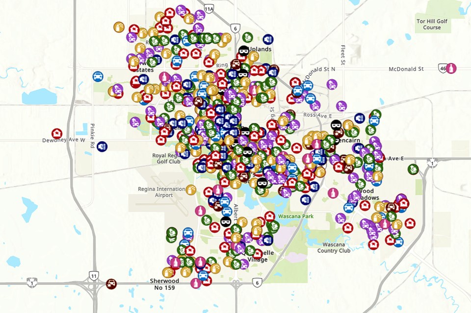
REGINA — Curious about crime trends in Regina? A new online map launched by the Regina Police Service is a tool designed to keep citizens aware of certain crimes and what areas of the city are affected.
“Essentially, the Community Crime Map provides a picture of reported crime in the city of Regina, showing approximate locations of various crime types in a selected period,” the RPS said in a press release.
The map displays reported crimes with a history of up to three months. While updated daily, there is a delay period for information hitting the map.
“The rationale for the delay is two-fold,” the RPS explained. “Crimes often turn out to be more than - or other than - what was initially reported, so the 24 hour delay mitigates initial data quality issues. In addition, many reported crimes are also dynamic situations and the delay allows for initial investigation and report writing, as well as public safety (by not having the unintended consequence of drawing citizens to an unfolding event).”
Some types of crime will be excluded due to the sensitive nature of the crime or the potential to identify victims or their families. Exact locations are also not mapped as to avoid unintended identification, instead locations are mapped to the nearest intersection.
The RPS says that the online map is part of their commitment to transparency and accountability to citizens.
“Its design will give residents better awareness of crime reported in the city’s different wards and neighbourhoods,” noted the RPS.
The software itself is used widely by public safety and city planners, making the new map easier to integrate with existing tools.
“ArcGis has been used by the City of Regina for many years for mapping city boundaries, neighbourhoods, waterways, and infrastructure,” the RPS release stated.
Visit the . Those accustomed to the previous Community Crime heatmap will also find a button to it via the new link.
— for more from Crime, Cops and Court.


